
Defensible Aerial Data for Critical Infrastructure
MIR collects RGB, radiometric thermal, RTK mapping, and LiDAR data for infrastructure teams that need organized, defensible records they can review, share, and act on.
Blue UAS Cleared Aircraft
MIR operates Blue UAS Cleared, American-made Freefly Astro aircraft configured for infrastructure mapping and inspection. Redundant aircraft, RTK positioning, and interchangeable RGB, thermal, and LiDAR payloads let MIR match the collection method to the project. Aircraft, payload, communications, and data-handling details are reviewed against each project's procurement and security requirements.
- American-made Freefly Astro aircraft
- Blue UAS Cleared aircraft and payloads
- Redundant aircraft availability
- RTK-enabled positioning
- High-resolution 61MP RGB imagery
- LiDAR and thermal payload options
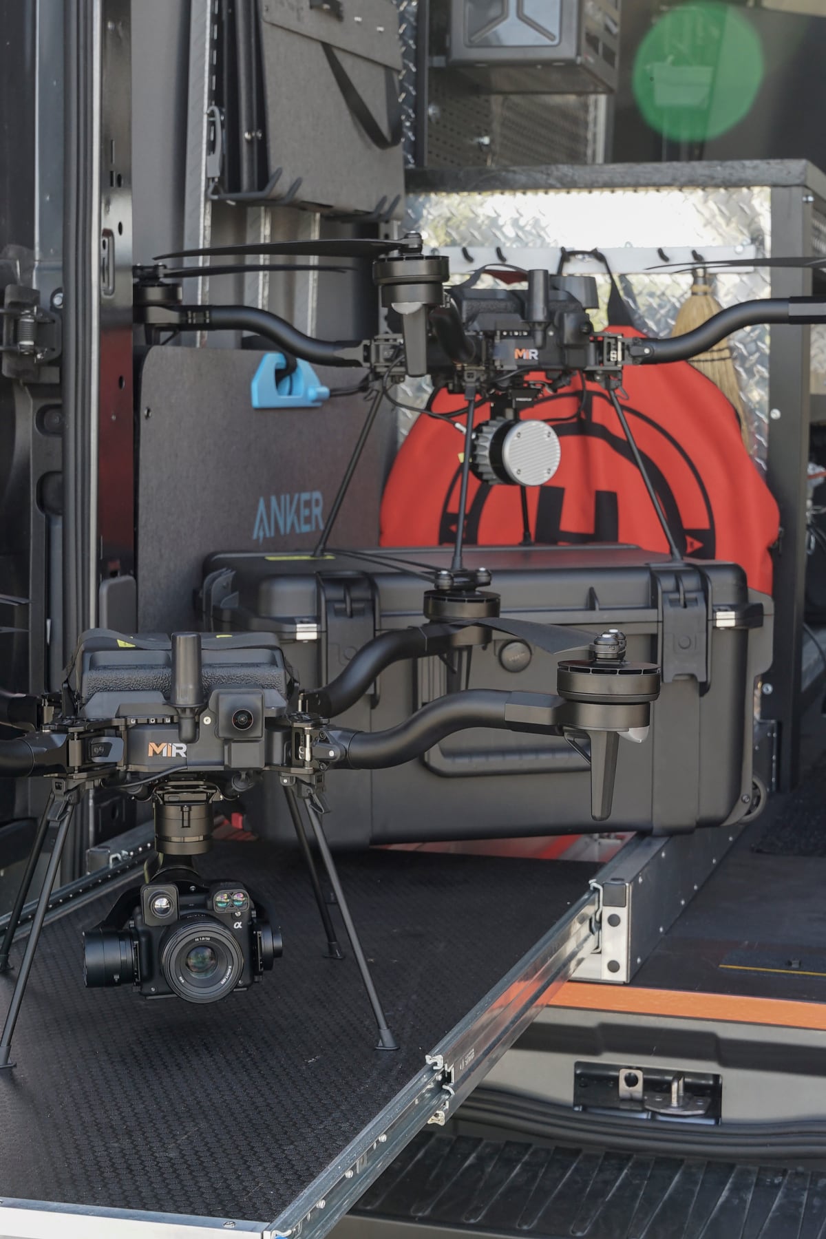

Deploy-Ready Equipment
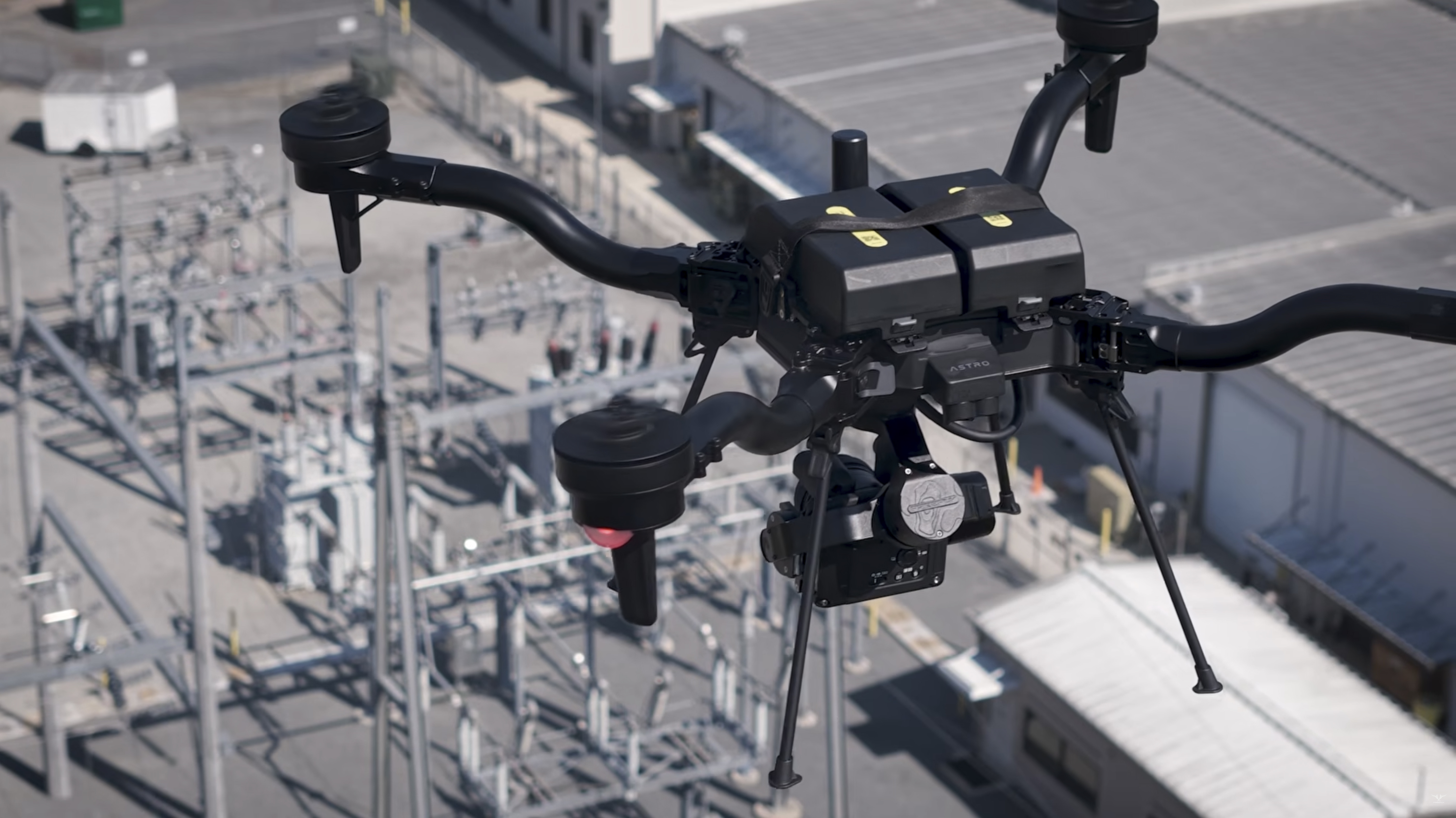
Freefly Astro
Blue UAS aircraft
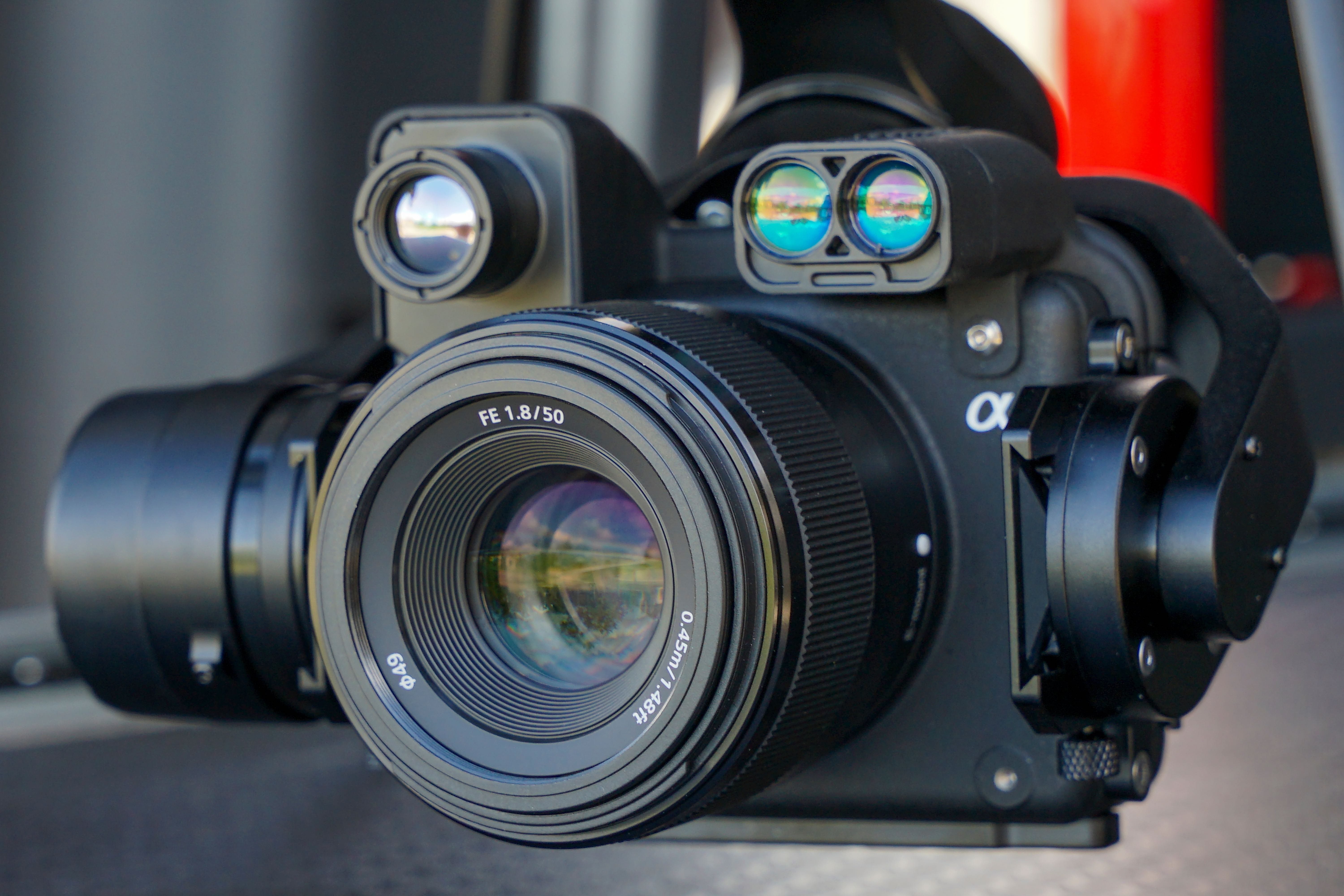
Sony ILX-LR1
61MP full-frame RGB
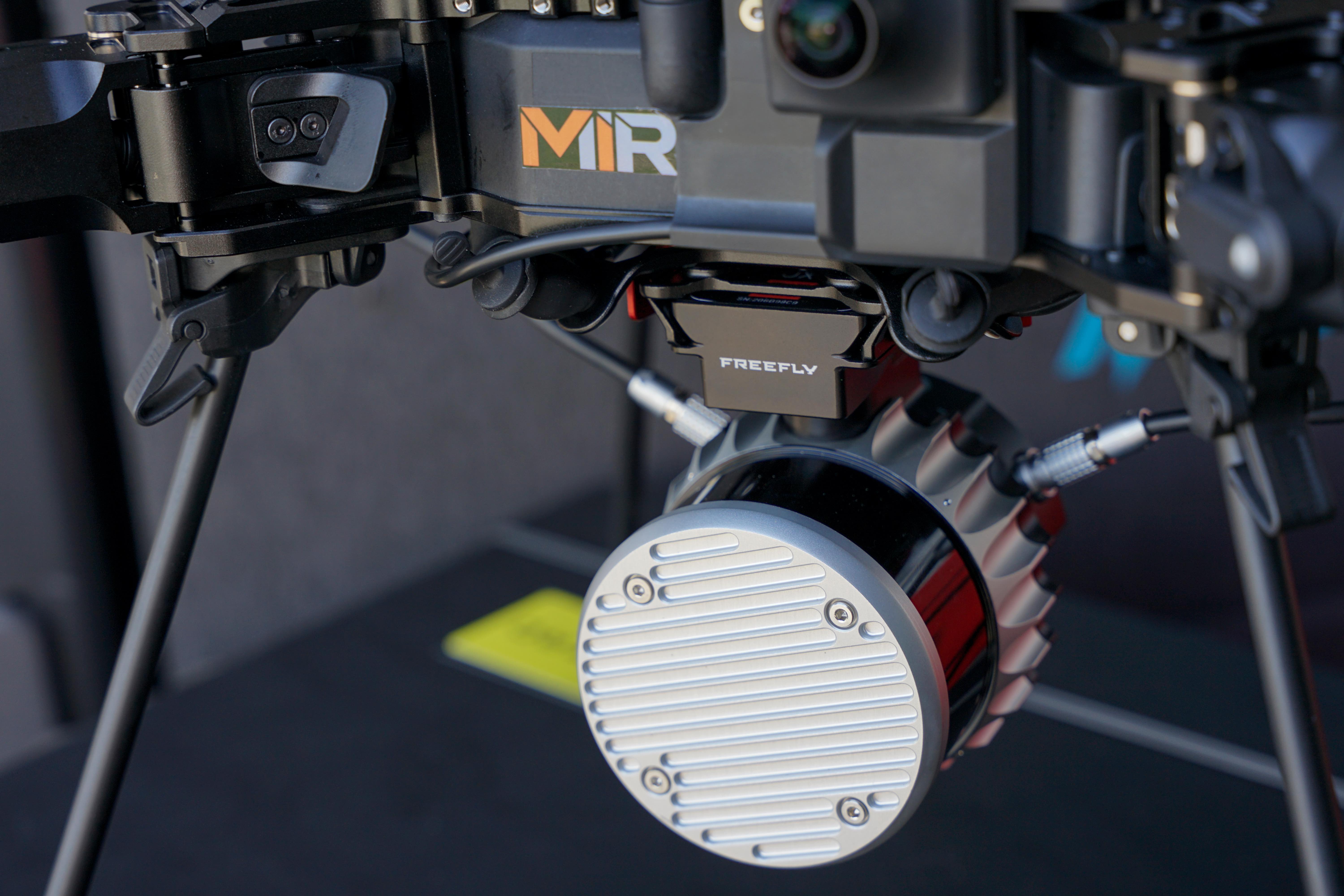
Freefly Flux O1
Survey-grade LiDAR
High-density point clouds through vegetation and complex structure. With Freefly Flow, a measurable point cloud is built in the field — coverage verified on site before the aircraft leaves the ground.
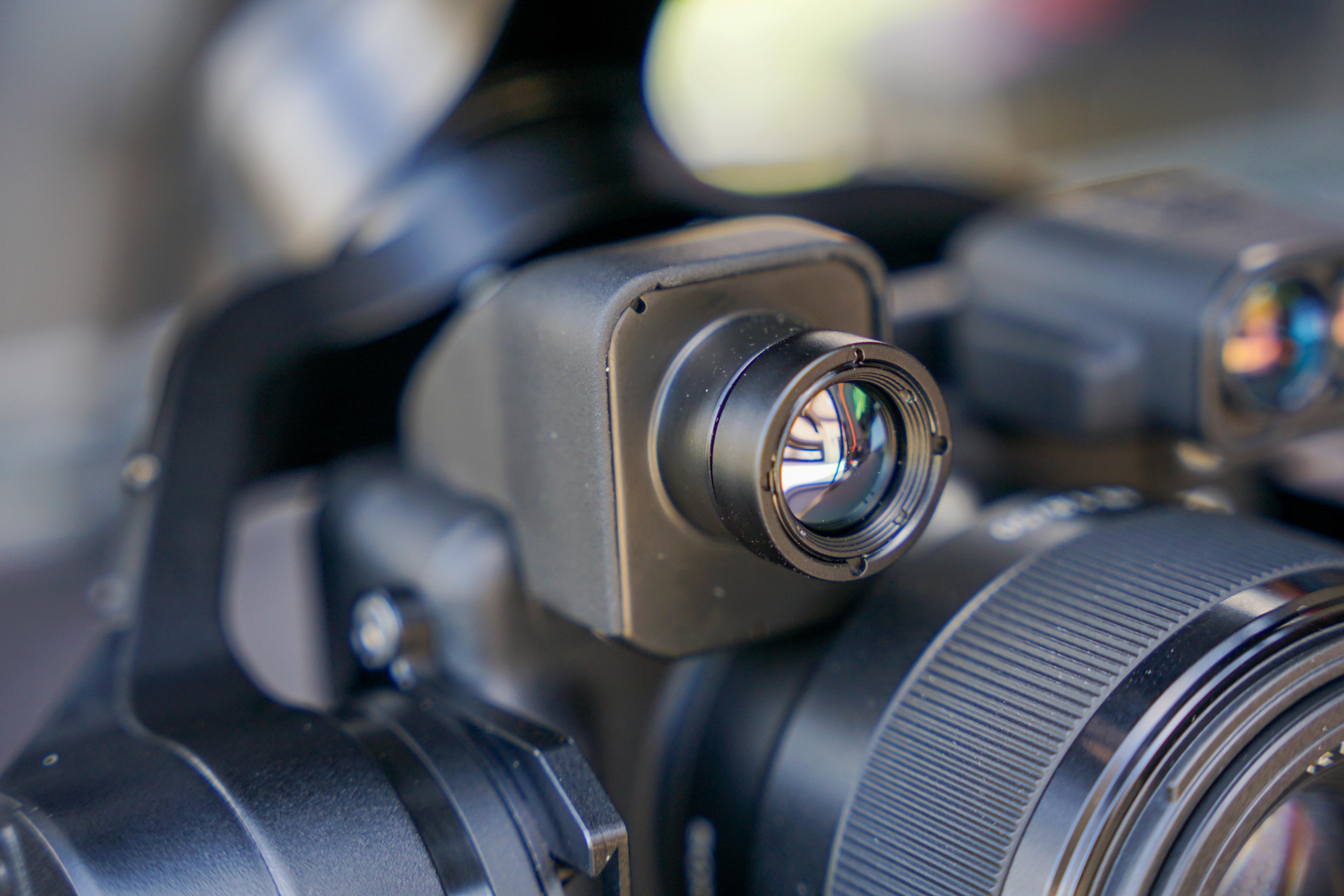
FLIR Boson+ 640
Radiometric thermal
Imagery is delivered as geotagged TIFF files, preserving full radiometric data for temperature analysis.
InCORS RTK Control
Survey-grade positioning
LiDAR GCPs & check points and RGB GCPs & check points tie every dataset to surveyed control.
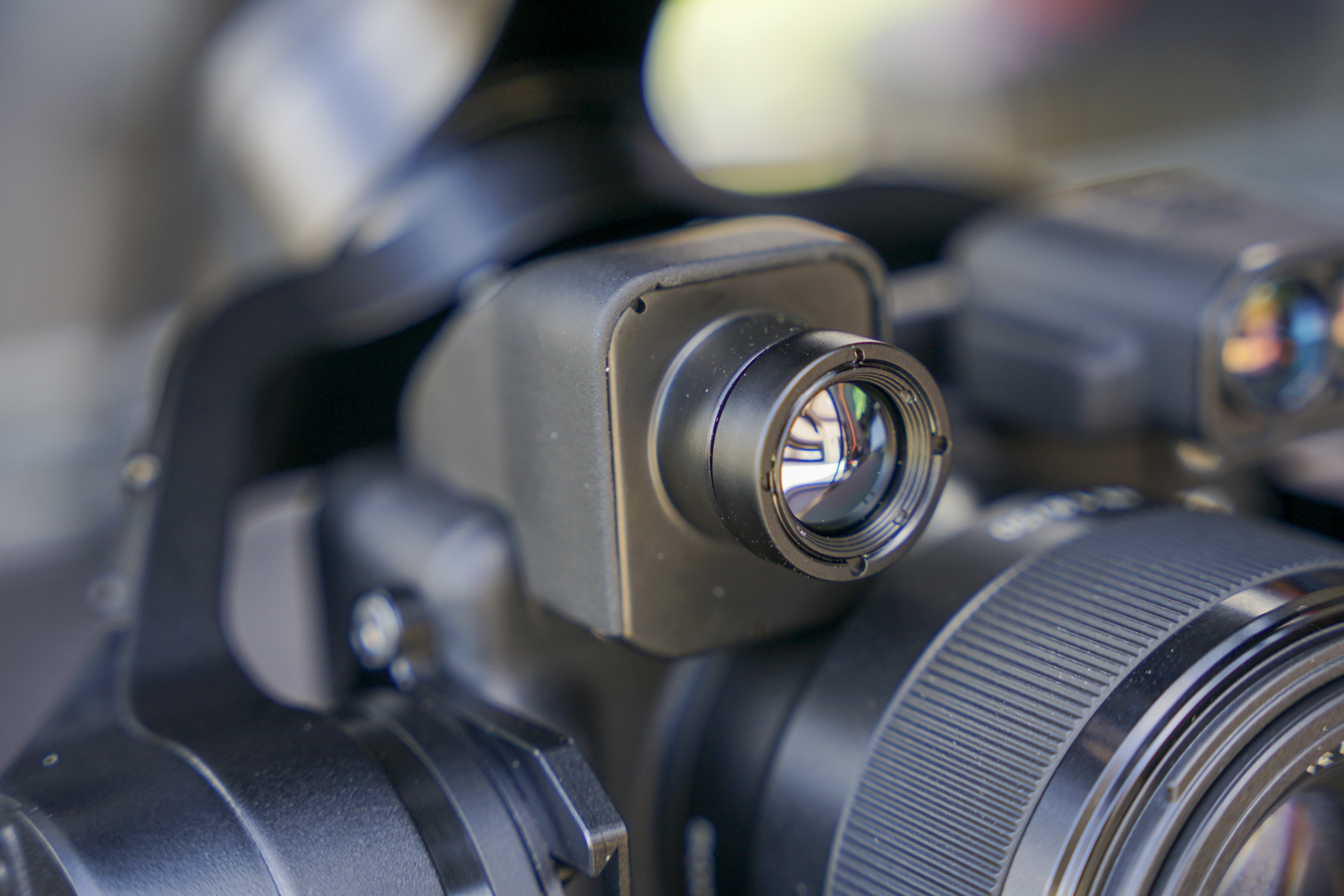
Laser Rangefinder
Direct distance & clearance
When a photo is captured, the distance readout at that time is also saved in the image metadata.
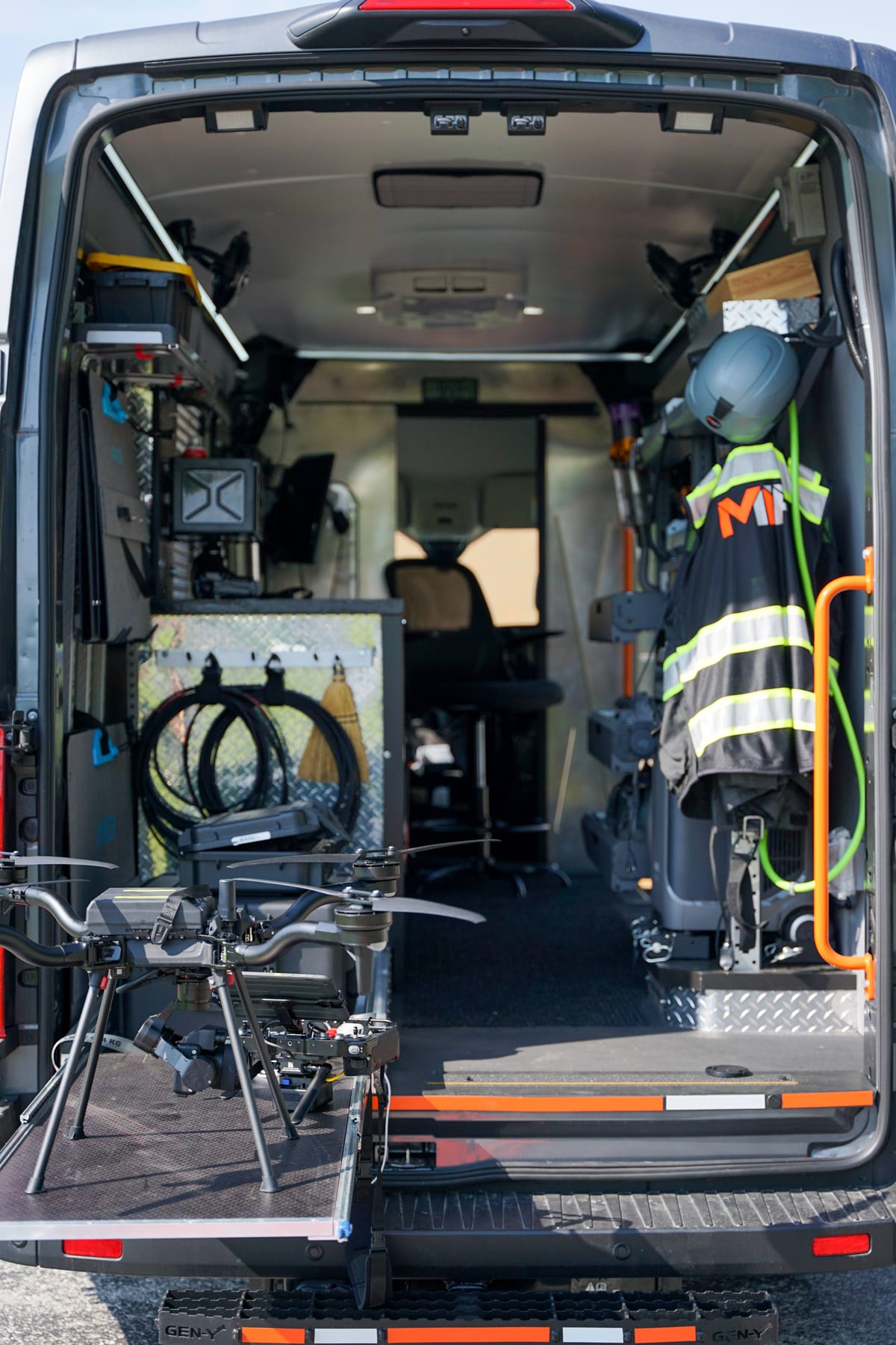
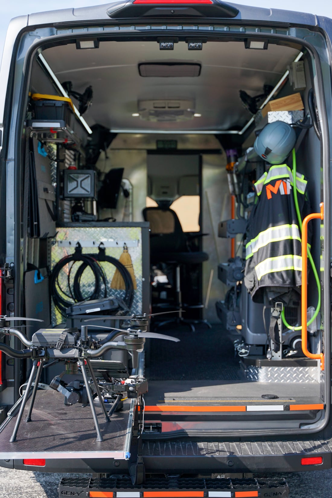
Mobile Command. Deployable Operations.
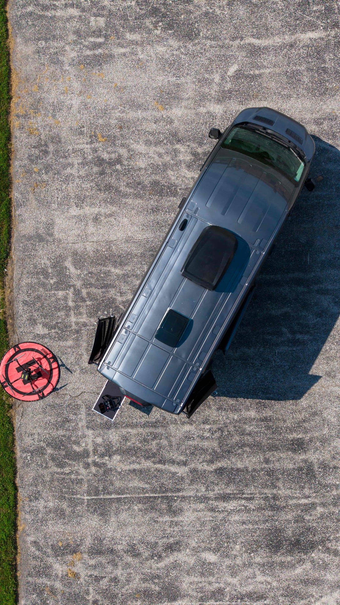
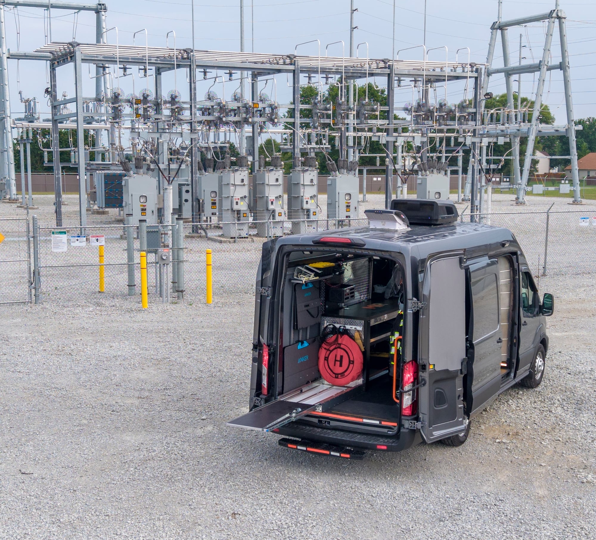
MIR's field vehicle supports mission planning, equipment charging, payload preparation, data transfer, processing, communications, and extended operations at remote or infrastructure-heavy sites. The system is designed to reduce field delays and keep the collection workflow organized from arrival through data handoff.
- Field Power
- Equipment Charging
- Mission Planning
- Data Transfer
- On-Site Review
- Weather Protection
- Remote-Site Readiness

Two Service Lines
One Operator. Two Pipelines.
 01 / 02
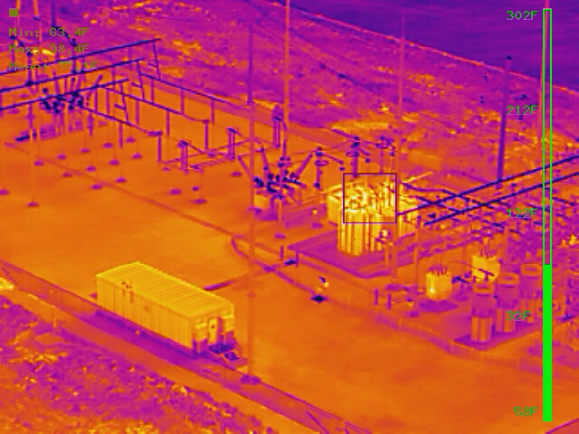
Aerial Inspection
Inspections
Close-range RGB and radiometric thermal capture that turns asset condition into rated, shareable findings.
- RGB + radiometric thermal
- Anomaly detection & severity rating
- Per-component documentation
 02 / 02
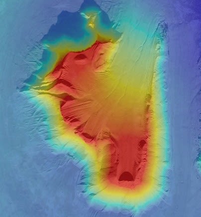
Aerial Mapping & LiDAR
Mapping
RTK mapping, LiDAR, and photogrammetry processed into measurable maps, models, and quantities.
- RTK orthomosaics & elevation models
- LiDAR point clouds & 3D twins
- Verified against surveyed control
Discipline in the Field. Detail in the Data.
Andrew Hawes · Founder · FAA Part 107
MIR is an aerial inspection and mapping company based in Westfield, Indiana, providing high-resolution RGB, thermal, LiDAR, and photogrammetry data for infrastructure, utility, renewable energy, telecom, industrial, and grain storage clients.
Projects are scoped, planned, flown, processed, and delivered by one accountable operator. Missions are planned with structured flight workflows and Blue UAS Cleared aircraft to support repeatable data collection, clear documentation, and review-ready deliverables.
MIR supports work across the greater Indianapolis area, Indiana, and the Midwest.

- FAA Part 107 · 2016
- Blue UAS Cleared Platform
- $5M Aviation Liability
Start With the Project Objective
Bring MIR Your Next Site or Asset
Share what needs to be inspected, mapped, measured, documented, or reviewed. MIR will help determine the appropriate collection method, payload, mission structure, and deliverables — from flight plan to field deployment.