

Rail & Transportation
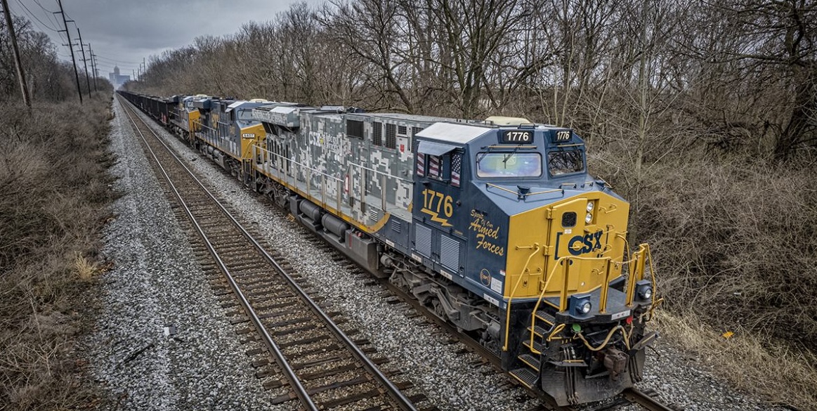
MIR maps rail corridors from the air — capturing RGB orthomosaics and LiDAR along track, ballast, and right-of-way that reduce boots and foul time on live track.
Rail corridor documented from the air
Purpose-Built Data for Rail & Transportation
Rail corridors are linear, active, and heavily regulated. MIR flies repeatable mapping missions that capture measurable RGB orthomosaics and LiDAR point clouds along the corridor — supporting engineering and maintenance-of-way (MOW) teams with existing-condition records, progress documentation, and clearance-envelope data. The result minimizes time crews spend inside foul time near live track.
From Flight Plan to MOW Handoff
Every rail & transportation project runs the same repeatable pipeline: missions are planned in UgCS, flown autonomously by AMC (Auterion Mission Control) on American-made Freefly Astro aircraft, then offloaded to the right software — Pix4Dmatic for mapping and photogrammetry, Scopito for inspection findings, and Freefly Flow for in-field LiDAR point clouds.
- Step 01

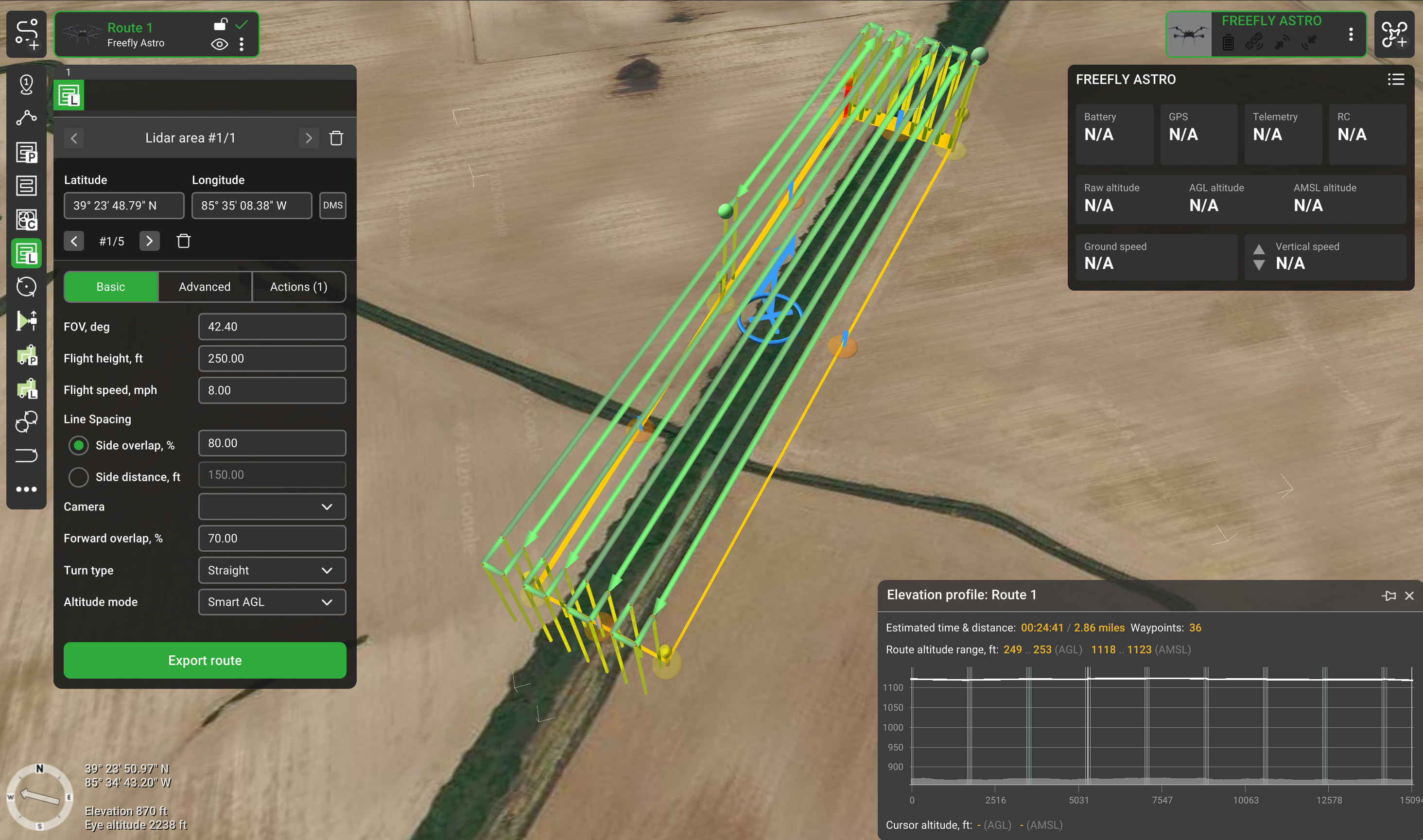
Mission Planning
Corridors are programmed in UgCS with the corridor tool and terrain-aware paths at a fixed Ground Sampling Distance, structuring linear collection along track and ROW.
- Step 02

Field Capture
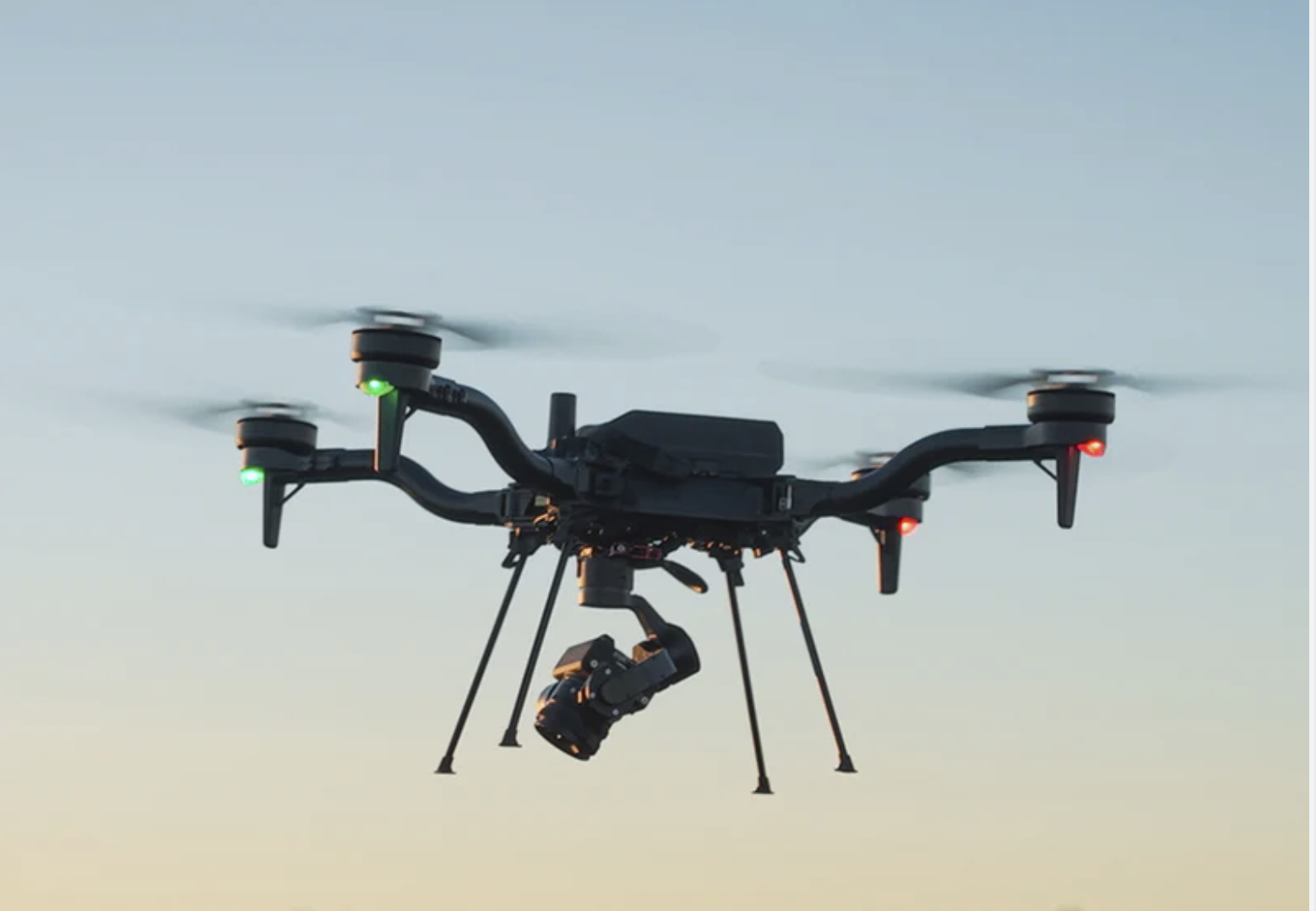
The UgCS mission is transferred by USB to the Herelink controller and uploaded to AMC (Auterion Mission Control), which flies the corridor autonomously on American-made Freefly Astro aircraft, capturing high-resolution RGB and LiDAR along track, crossings, and structures. Freefly Flow post-processes the LiDAR on-site to a rough point cloud in minutes, confirming coverage without extended foul time on live track.
- Step 03

Processing & Delivery
RGB imagery is processed into corridor orthomosaics in Pix4Dmatic and LiDAR point clouds are cleaned into clearance-envelope surfaces in point-cloud software — delivered for MOW and engineering review.
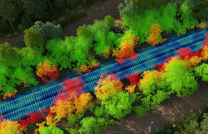
Services MIR Provides
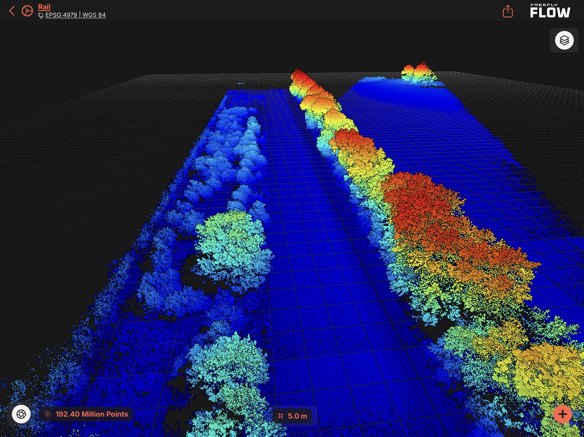
Corridor Mapping & Orthomosaics
RTK-referenced RGB orthomosaics and mapping along track, ballast, and right-of-way.
LiDAR Terrain & Clearance Envelope
LiDAR acquisition for terrain, drainage, and clearance-envelope analysis along the corridor.
Progress & Existing-Condition Records
Repeatable RGB and LiDAR collection for baselines and change comparison over time.
The Equipment We Bring To Your Site
Each project is scoped to the required collection method. RGB, radiometric thermal, and LiDAR are deployed in purpose-built acquisition passes based on the required deliverables — RTK-referenced so your data comes back well-documented and ready to use.
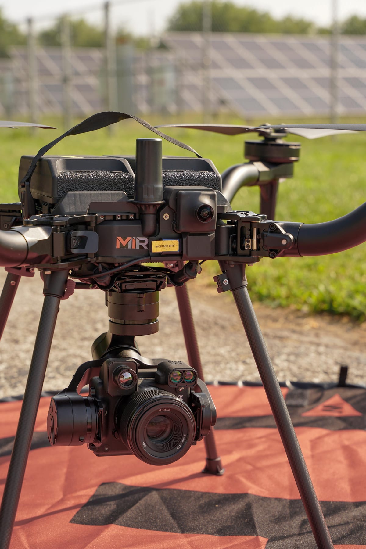
Freefly Astro
Blue UAS aircraft
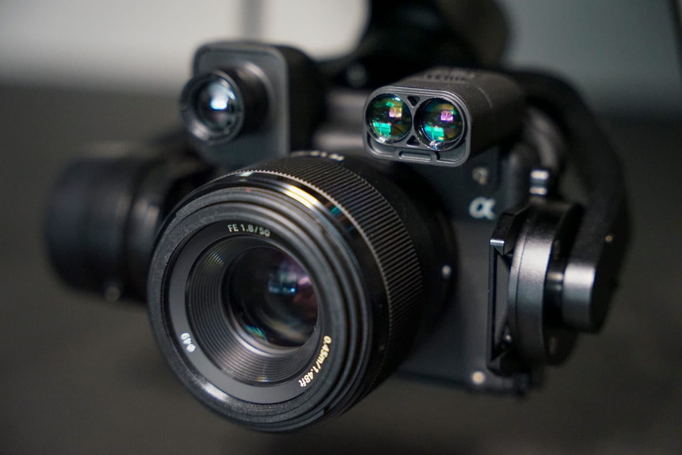
Sony 61MP RGB
High-resolution imagery
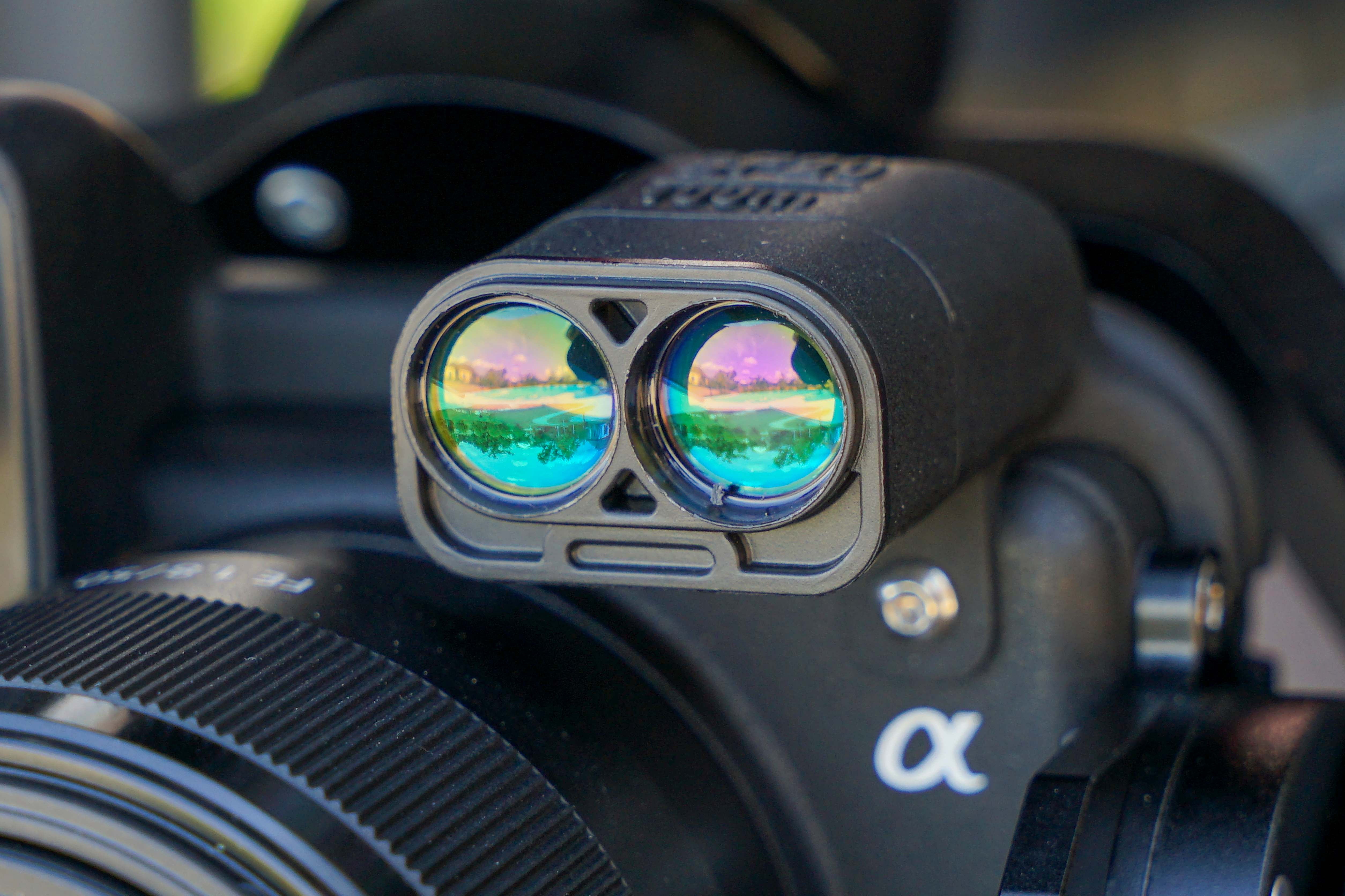
Radiometric Thermal
Calibrated heat mapping
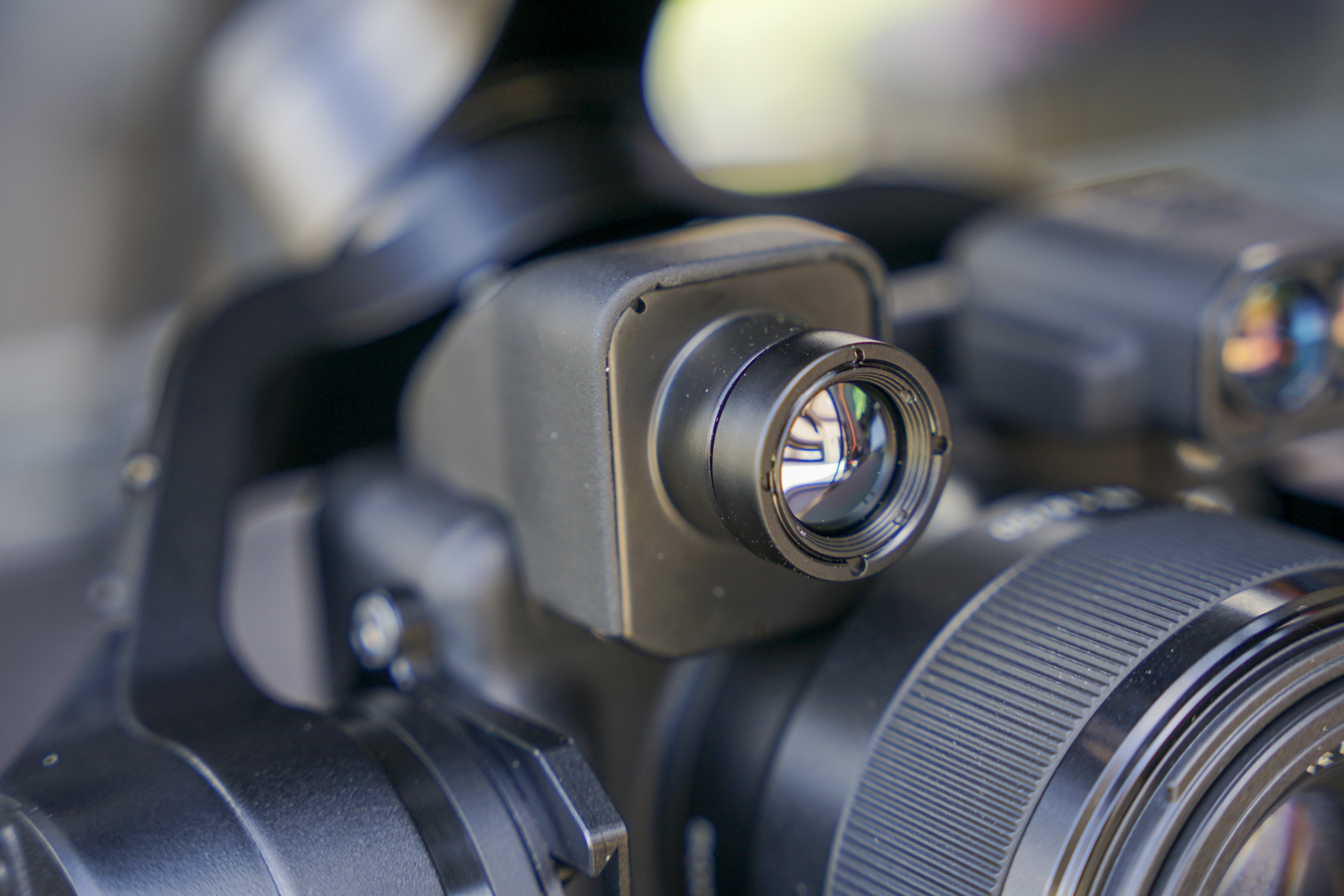
Laser Rangefinder
Direct distance & clearance
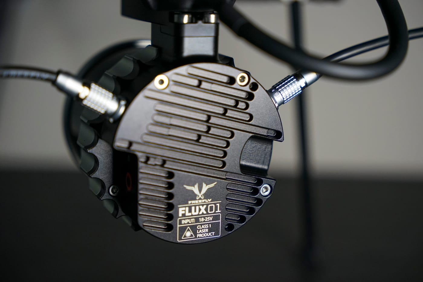
Freefly Flux O1
LiDAR acquisition
RTK Positioning
InCORS NTRIP · WGS 84
Corridor data without the foul time
One corridor flight, clean deliverables. RGB orthomosaics and LiDAR clearance envelopes, georeferenced and ready for MOW and engineering review.
Corridor mapping
RTK-referenced RGB orthomosaics along track, ballast, and right-of-way.
LiDAR clearance envelope
Terrain, drainage, and clearance-envelope surfaces from LiDAR.
Progress & existing conditions
Repeatable captures for baselines and change comparison over time.
Explore Other Industries MIR Serves
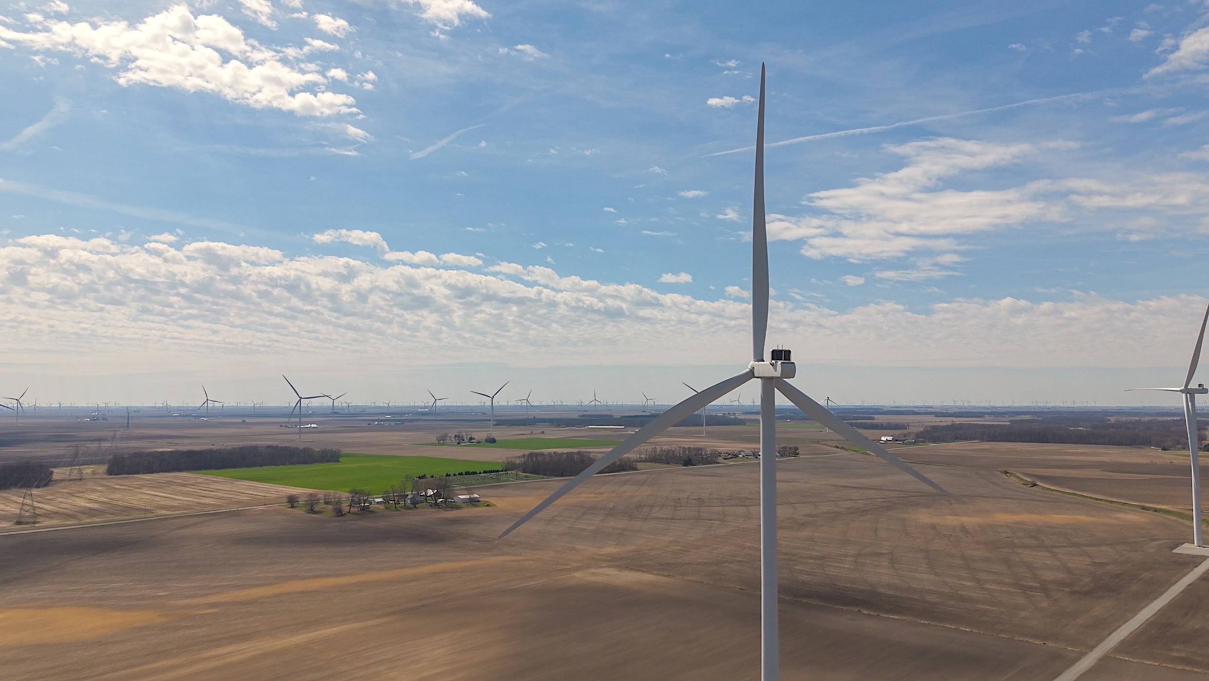
Wind Energy
Blade, tower, and nacelle inspection data that pinpoints leading-edge erosion and serial defects without prolonged downtime.
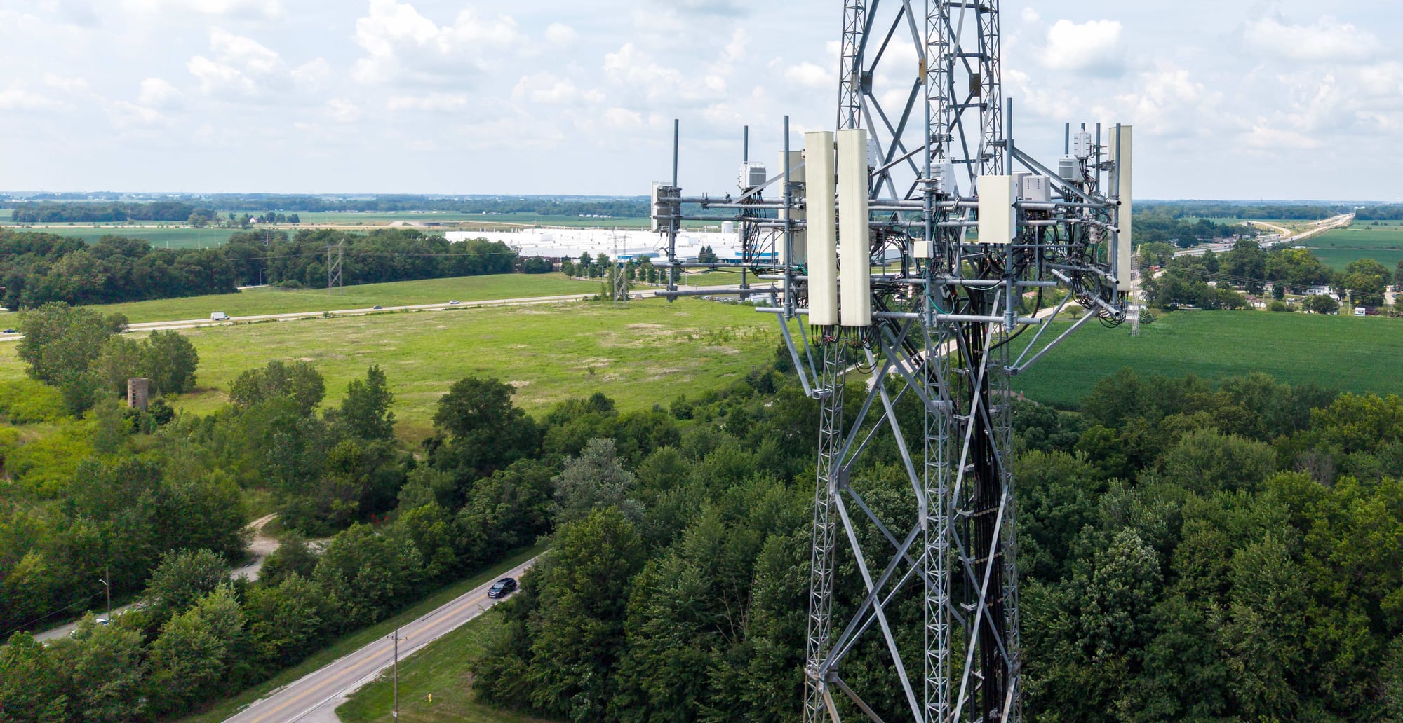
Telecom
Cell-site audits, structural documentation, and measurable digital twins that support colocation and close-out.
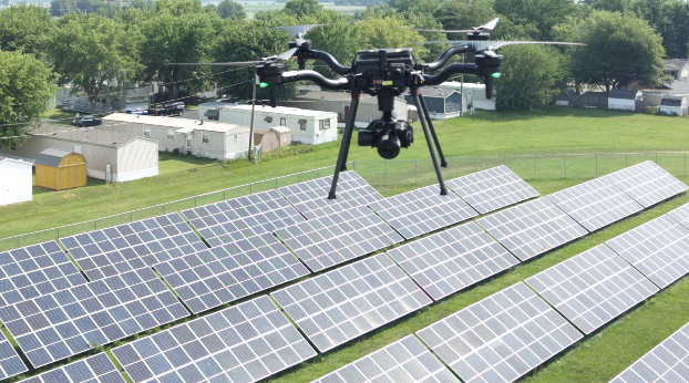
Solar & Renewables
Aerial thermography that locates hot spots, diode failures, and string outages down to the module.
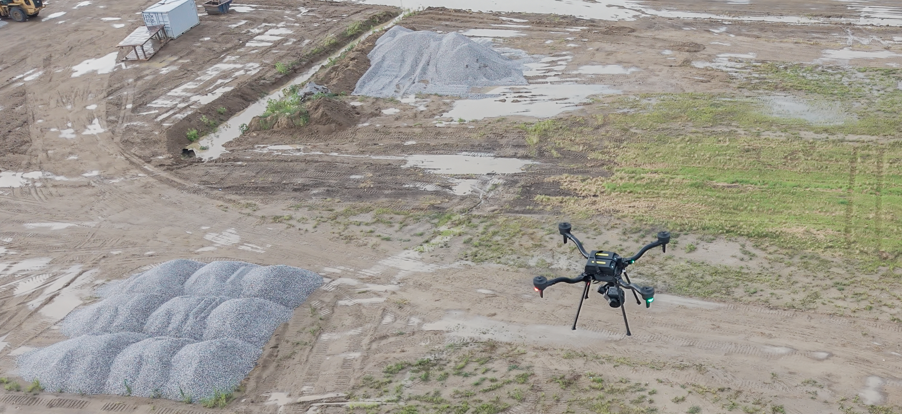
Mining & Aggregates
RTK-referenced stockpile volumetrics, pit-progression models, and highwall documentation — captured with high-accuracy photogrammetry and LiDAR, without entering hazardous zones.
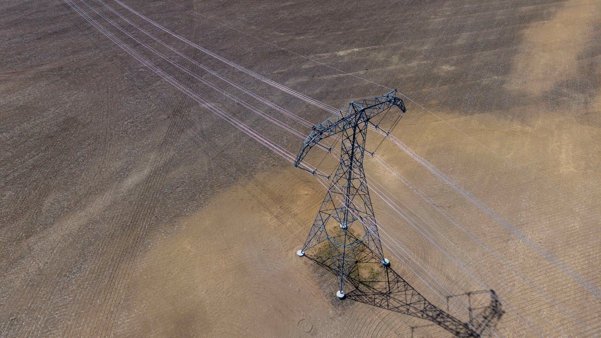
Utilities & ROW
T&D structure inspection, LiDAR corridor mapping, and vegetation-encroachment documentation for reliability and compliance.
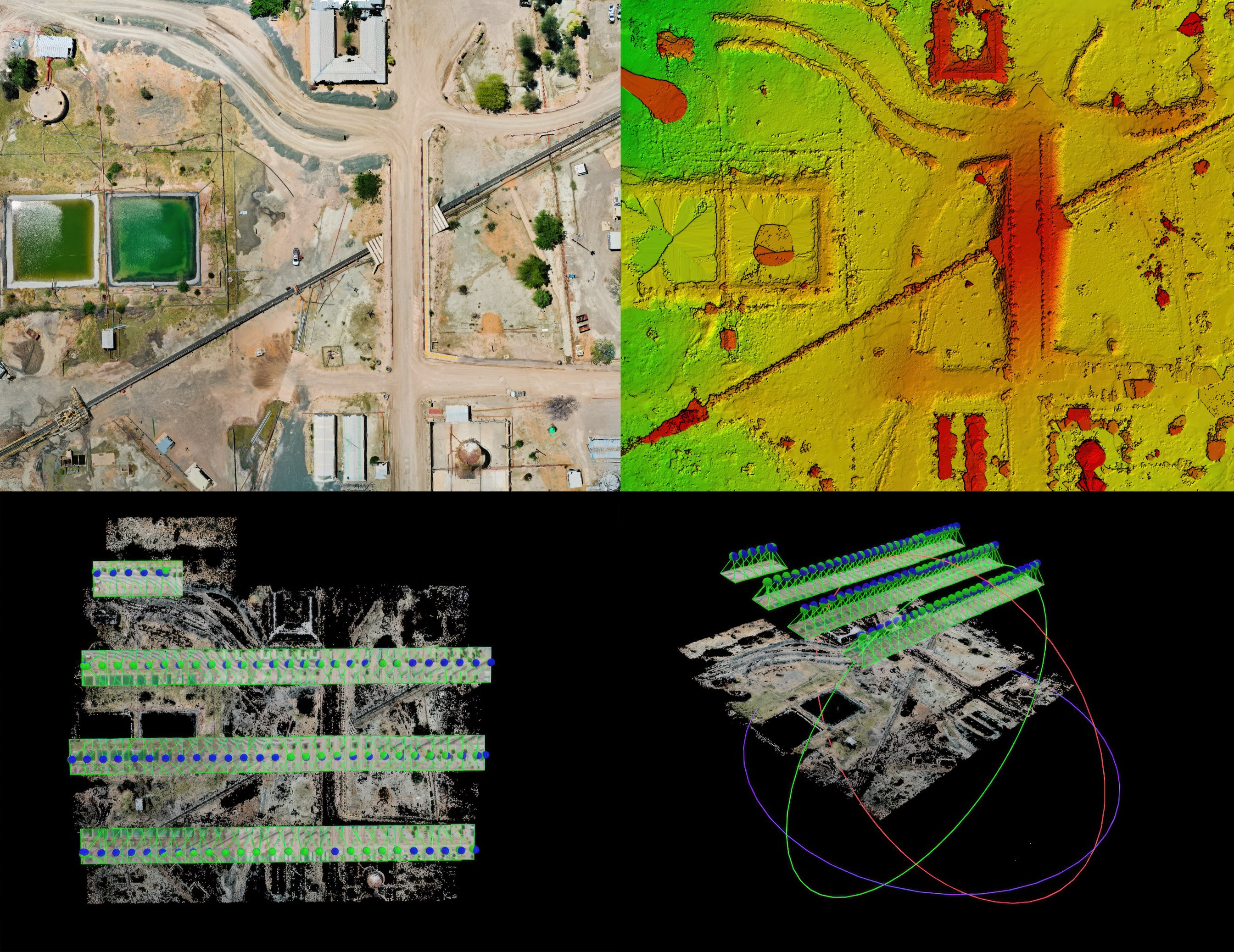
Civil Engineering & Survey Support
RTK-enabled aerial LiDAR and 61MP RGB collection — orthomosaics, point clouds, terrain surfaces, and construction documentation for survey teams, civil engineers, developers, and contractors.
Start With the Project Objective
Have a Rail & Transportation Project?
Tell us what needs to be inspected, mapped, measured, or documented. We'll help determine the right collection method, payload, mission structure, and deliverables.